- Applications
- Emerging
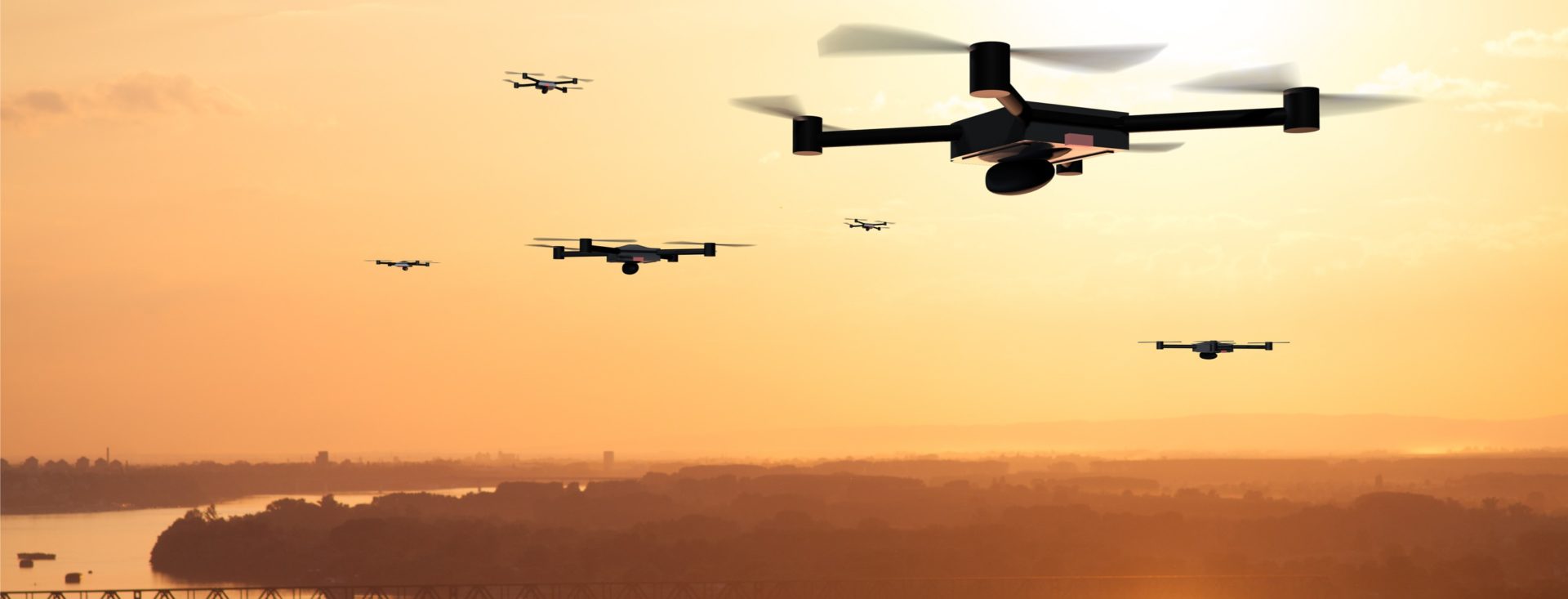
- Drone Applications
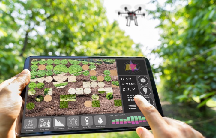
- Orthomosaic Maps and Aerial Video
Orthomosaic Maps and Aerial Video
Accurate, High-Resolution Viewing Solutions in Orthomosaic Imaging
Orthomosaic Maps and Aerial Video
In the cases of Orthomosaic mapping and aerial videography clarity is key in showing all of the minute details needed when surveyor-grade measurements of topography, infrastructure and buildings are needed. Stitching together dozens of high-resolution images or orthophotos help varied industries obtain accurate, up-to-date data that goes beyond the simple Google Earth view.
OMNIVISION’s Global Shutter (GS) technology enables high-resolution imaging, reduced motion artifacts and greater low-light sensitivity, ensuring the clearest images possible. Purposeful technology is what keeps OMNIVISION an industry leader in the Drone Photography space.


Product Solutions
OMNIVISION places its customers at the leading edge of imaging technology with its commitment to innovative, forward-thinking solutions.